GV

GeezerVison

The World Wide Web, restored to 800 pixels of glory.

Home|About|Gaming cabinet|Archives|How it works|Starter sites

On this site

  • Products
  • Pricing
  • Documentation
  • Get Started with Google Maps Platform
  • Capabilities Explorer
  • Pricing & Billing
  • Security & Compliance
  • Reporting & Monitoring
  • FAQ
  • Support and Resources
  • Customer Care
  • Incident Management
  • Maps JavaScript API
  • Maps SDK for Android

This view

  • Original page
  • New address

GeezerVison is showing developers.google.com — Google Maps Platform Documentation | Google for Developers

Stay organized with collections Save and categorize content based on your preferences.

Google Maps Platform
Documentation

Explore capabilities See our pricing structure

Find the right documentation for the job

Explore, learn, and build with comprehensive documentation, sample code, example apps, and more.
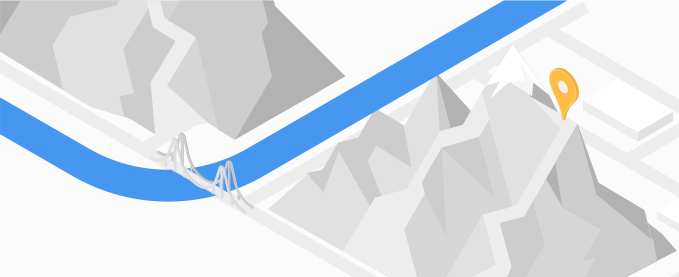
Maps documentation

Maps

Help users explore the world with detailed, custom maps products.
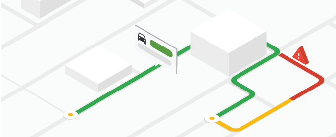
Routes documentation

Routes

Help your users optimize the way from A to Z.

Places

Places

Show users places and points of interest with details at their fingertips.
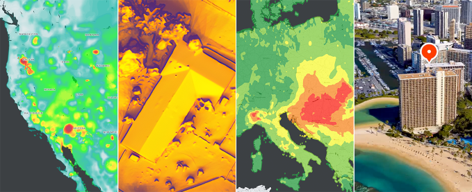
Environment documentation

Environment

Help users access data to respond to the climate challenges of today.
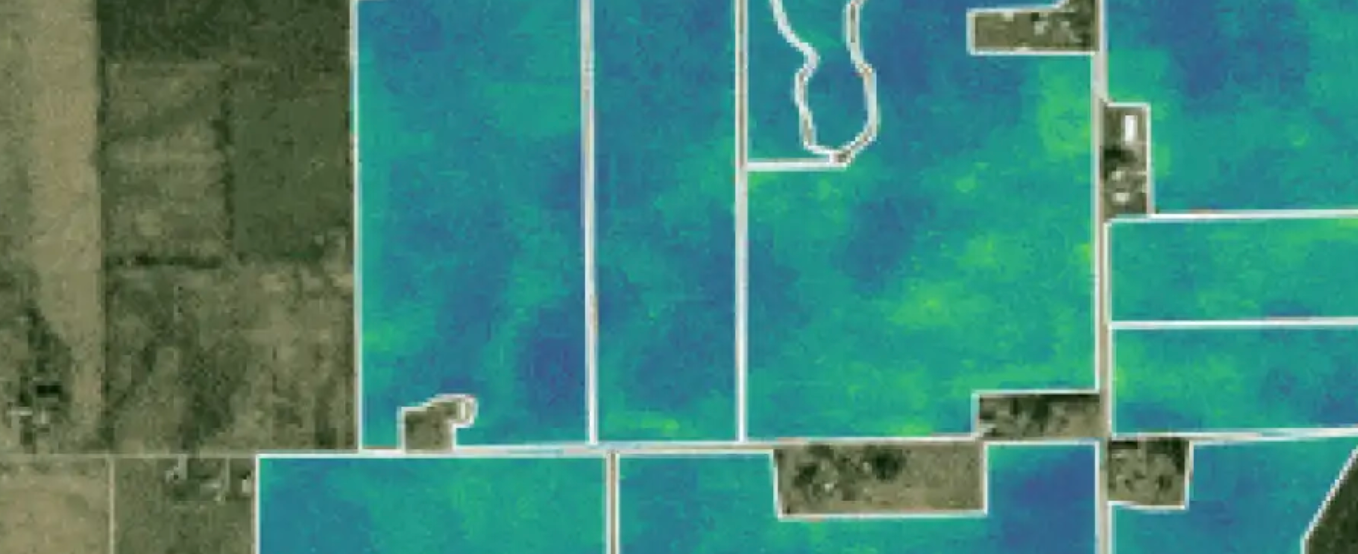
Datasets documentation

Datasets

Discover geospatial datasets and tools that enable you to reveal powerful business and sustainability insights.

Resources for AI documentation

Resources for AI

Build and ground AI-powered applications and coding agents with Google Maps Platform.

Aerial View

Create and display Aerial View videos rendered using Google's 3D geospatial imagery.

API

Elevation

Get the elevation of one or a series of locations.

JS API

Google Earth

Analyze, build, and collaborate with a comprehensive, interactive model of our world.

Web

Map Tiles

Provides high-resolution Photorealistic 3D Tiles, 2D Tiles, and Street View Tiles.

API

Maps SDKs

Bring the real world to your users with dynamic maps for the web and mobile.

JS Android Android 3D iOS iOS 3D HTML Web Components Flutter

Maps Static API

Display a static map on your website.

URL

Street View imagery

Add 360° Street View imagery to your apps.

JS Android iOS API

Navigation SDKs

Build dynamic navigation experiences for your apps.

Android iOS Flutter React Native

Roads

Identify nearby roads and their speed limits using coordinates.

API

Route Optimization

Optimize multi-stop routes flexibly and intelligently for one or more vehicles.

API

Routes

Provide directions with real-time traffic for multiple modes of transport, calculate travel times and distances, and more.

API

Address Validation

Validate an address and its components.

API

Geocoding

Convert coordinates into addresses and addresses into coordinates.

JS Android iOS API

Geolocation

Get an approximate device location using nearby cell towers and WiFi nodes.

API

Isochrones (Preview) science

Calculate the area that a person can reach from a specific origin point within a set amount of time.

API

Places API & SDKs

Integrate Google's Place details, search, autocomplete, and AI-generated summaries into your apps.

JS Android iOS API

Places UI Kit

Bring the familiar Google Maps user experience for Places to your frontend use cases with a ready-to-use, customizable, and cost-effective component library.

JS Android iOS

Time Zone

Determine the time zone for a set of coordinates.

API

Air Quality

Retrieve air quality indexes, pollutants, and health recommendations for specific locations.

API

Pollen

Get pollen information for specific locations, including types, plants, and indexes.

API

Solar

Look up the rooftop solar energy potential for specific buildings.

API

Weather

Get current weather conditions, hourly and daily forecasts, and hourly weather history for specific locations.

API

Maps Datasets

Upload your data to a dataset for use in a Google Maps Platform app.

JS API

Places Aggregate

Provides insights about places within a specified area based on different criteria.

API

Places Insights

Get statistical insights from Google Maps places and brands data, using BigQuery.

Dataset

Population Dynamics Insights

Pre-computed embeddings that decode the relationship between human behavior and the physical world by distilling aggregated data from Google search trends and Google Maps' points of interest, busyness, weather and air quality data.

Dataset

Roads Management Insights

Access, analyze, and monitor road data to improve road networks and public utilities.

Dataset

Street View Insights

Use Google Street View images to fuel geospatial insights.

Dataset

Agent skills

Help AI assistants understand Google Maps Platform best practices and execute complex tasks.

Guide

Agentic data visualization token (preview)

Display Places UI Kit elements for the places in your agent's responses at no additional cost.

Guide

Code Assist toolkit (experimental)

Ground your AI development workflow in official Google Maps Platform resources with the Code Assist MCP server.

Guide

Maps Agentic UI toolkit (experimental)

Build interactive Maps experiences into agentic applications.

Guide

Maps Experience agent tools

Bring fresh Maps data to any LLM via the Model Context Protocol (MCP).

Guide

Maps in AI Studio

Prototype location-aware apps in Google AI Studio with automated Demo Keys.

Guide
  • explore

    Getting started guide

    Create an account, generate an API key, enable APIs and SDKs, and start building.

    > Read the guide and get started fast
  • map

    Build your first map

    New to Google Maps Platform? Build your first map with a marker.

    > Try it for JavaScript, Android, and iOS
  • location_on

    Search for Places

    Learn how to query Google Maps Platform's comprehensive database of rich place data.

    > Try it with the Maps JavaScript API and Places API (New)
    > Get AI-powered place summaries with the Places API (New)
  • navigation

    Get directions

    Get your users where they're going fast, with accurate, real-time directions.

    > Try it with the Routes API
Maps

Marker clustering

Use marker clustering to display large numbers of markers.
JS Android iOS
Maps Routes Places

Using TypeScript

Integrate the Maps JavaScript API into your web app with TypeScript.
JS
Maps

Styling your maps

Create and manage custom map styles from the Google Cloud Console.
All platforms
Maps

Using info windows

Display informational text or images to your users in a popup window above the map.
JS Android iOS
Places

Adding Place Autocomplete

Integrate a place search dialog with built-in autocomplete functionality into your web and mobile apps.
JS Android iOS API
Places

Geocoding & destinations

Resolve addresses, coordinates, and Place IDs, or retrieve hyperlocal destination details like building entrances, navigation points, and building outlines.
JS API
Routes

Getting directions

Retrieve directions for multiple modes of transportation and waypoints.
API
Places

Getting Place details

Look up rich information about places, including the name, address, location, and more.
JS Android iOS API

Transportation and Logistics

Integrate Google Maps directly into your ridesharing app to decrease navigation friction for your drivers and improve wait times for your customers.

Asset tracking

Improve business efficiencies by locating vehicles and assets in real time, visualizing where assets have traveled, and routing vehicles with complex trips.

Stack Overflow

Get help. Give Help. Build Maps karma.

Issue Tracker

Report a bug or open a feature request.

Platform status

Find out about platform incidents and outages.

Support

Get help from the Google Maps Platform team.

You are visitor 01402503 — GeezerVison does not store the pages you look up.
Best viewed with Netscape Navigator 4.7 or Internet Explorer 6 at 800×600. No cookies required.