GeezerVison is showing github.com — Build software better, together
Here are
348 public repositories
matching this topic...
Language:
All
Filter by language
Sort:
Most stars
Sort options
Blazing fast and lightweight PostGIS, MBtiles and PMtiles tile server, tile generation, and mbtiles tooling.
-
Updated
Nov 12, 2026
-
Rust
Pyramids of map tiles in a single file on static storage
-
Updated
Sep 16, 2026
-
TypeScript
GPS log file viewer and analyzer with support for GPX, TCX, KML, FIT, IGC, NMEA, SLF, SML, LOC, GPI, GeoJSON and OziExplorer files.
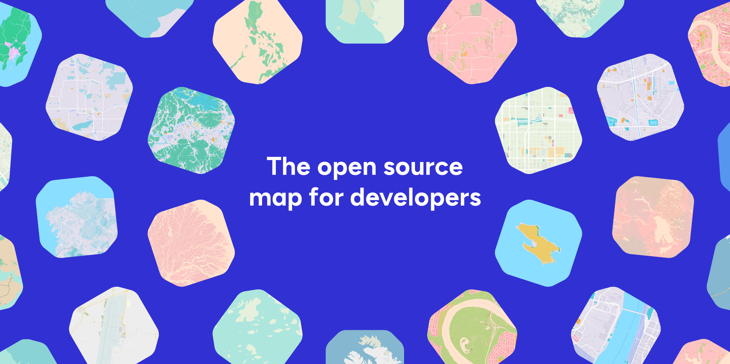
Basemap PMTiles generation and cartographic styles for OpenStreetMap data and more
-
Updated
Sep 11, 2026
-
Java
Single-file executable tool for working with PMTiles archives
Flutter plugin for MapLibre: vendor‑neutral vector & raster maps on Android, iOS and Web, with custom styles, offline regions, GeoJSON layers and PMTiles (fork of flutter-mapbox-gl)
-
Updated
Nov 10, 2026
-
Dart
Create PMTiles from Overture data
-
Updated
Oct 30, 2026
-
Java
Permissive and performant vector and raster maps with wide styling support powered by MapLibre SDKs.
-
Updated
Nov 12, 2026
-
Dart
Community-maintained agent skills for MapLibre GL JS — helping AI coding assistants write better mapping code
-
Updated
Nov 11, 2026
-
JavaScript
GeoParquet to PMTiles in Rust.
-
Updated
Nov 11, 2026
-
Rust
Self hosted maps, PMTiles, MBTiles key value storage and server
Download India's open GIS data — district boundaries, electoral maps, census geometries, shapefiles, GeoJSON, Parquet. Includes India Map Maker, a free online map maker for India: spreadsheet in, state or district map out, no watermark.
-
Updated
Nov 11, 2026
-
Python
Basemaps for the people! ✊ Mpalibre GL basemaps for Protomaps / pmtiles 🗺️
-
Updated
Nov 11, 2026
-
TypeScript
AI-agent skill for reproducible, validated GIS analysis — from authoritative data discovery to interactive maps, on an open-first geospatial stack (OSM, Overture, STAC, DuckDB, PostGIS, QGIS, MapLibre).
-
Updated
Nov 10, 2026
-
HTML
50+ Vue 3 components for MapLibre GL — deck.gl, LiDAR, COG, spatial indexing, and more

Technical documentation for the Protomaps system
geolocated english wikipedia articles in geoparquet and pmtiles
-
Updated
Oct 14, 2026
-
Python

Builds vector tilesets from geographic features, like tippecanoe, several times faster
-
Updated
Nov 12, 2026
-
Rust
Serve OGC APIs, CNG formats on object storage first — no conversion step. With OAuth2/OIDC, a reloadable configuration, and an MCP endpoint. Built on pygeoapi.
-
Updated
Nov 10, 2026
-
Python
A local development tool for experimenting with vector tiles
Add this topic to your repo
To associate your repository with the
pmtiles
topic, visit your repo's landing page and select "manage topics."
Learn more
|